Unaweep Tabeguache Scenic Byway

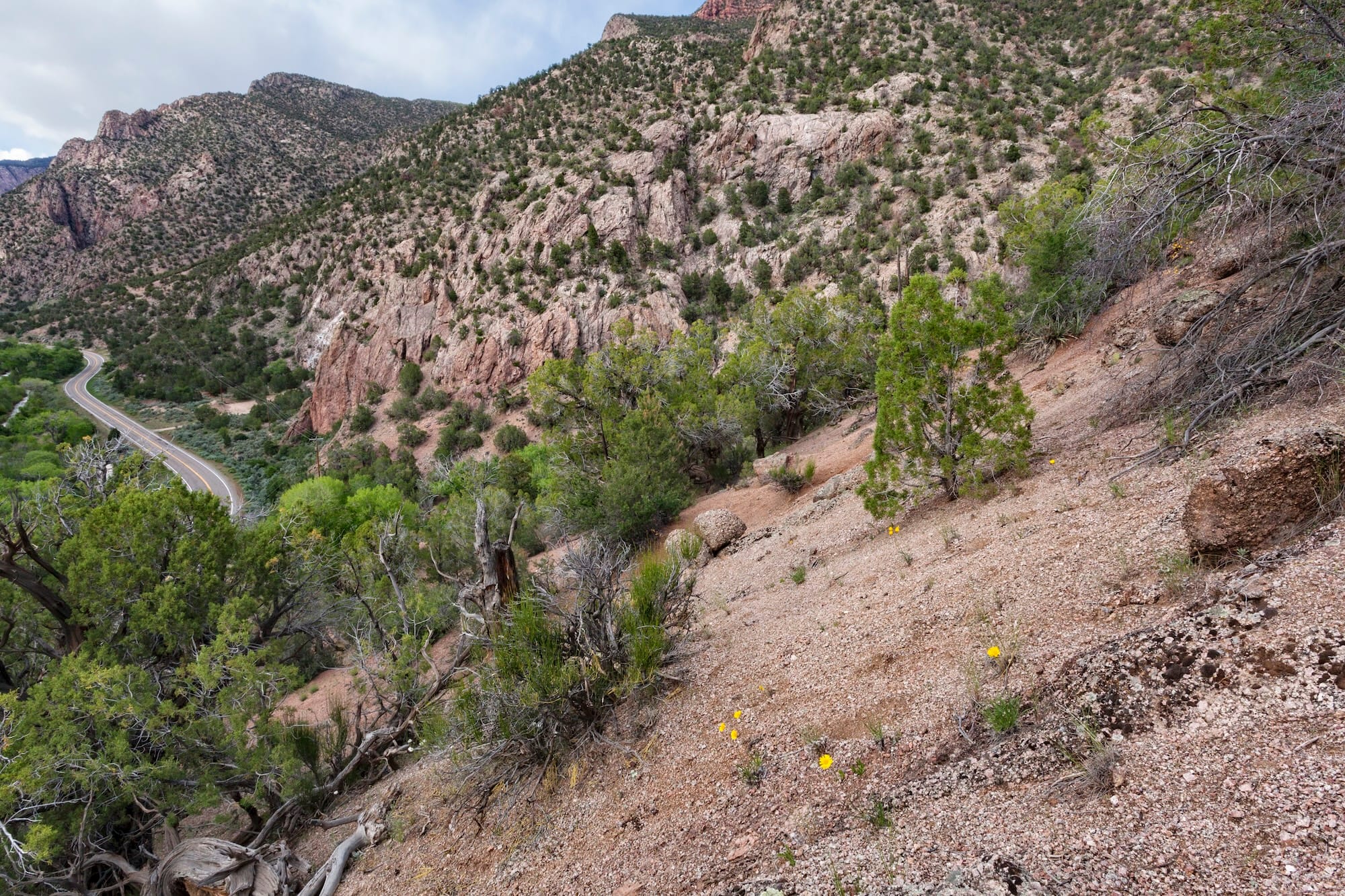
The Unaweep Tabeguache Scenic Byway leads you to an adventure surrounded by majestic scenery and deep history. You’ll also get to enjoy first-class canyon carving while you’re at it.
Covering 133 miles in western Colorado, the Unaweep Tabeguache Byway slices through the Uncompahgre Plateau (which hosts the eponymous national forest) before climbing up on top of it. Over those miles, you get to admire marvelous scenic beauty in riverside canyons, with brightly striped cliffs rising hundreds of feet on both sides.
Moving from north to south, the ride begins near Grand Junction. Initially, you’ll follow the road’s titular Unaweep Canyon, a unique canyon with two streams flowing out from one end due to the (mostly imperceptible) Unaweep Divide high point in the middle of the canyon.
Here, despite your being in a canyon, the view is wider, with open terrain and pasture land that still soon turns into mountains.
Once you pass the small town of Gateway, the environment narrows into a red rock canyon following the meandering Dolores River. Tight canyon curves carve through this ancient landscape.
As you ride, the Unaweep Tabeguache Scenic Byway plunges you as far back into the region’s history as possible. You’ll pass pre-Cambrian fossils visible in the cliffs, Native American petroglyphs, gold rush structures, and small modern towns with typical Southwestern adobe architecture.