Shamrock Tour® - Sturgis and Deadwood, South Dakota
The biker hordes have yet to arrive for the annual Black Hills Motor Classic Rally in Sturgis, South Dakota. I have this majestic and surreal landscape mostly to myself for the next several days to explore. Buttes, bison grazing on rolling grasslands, the infamous town of Deadwood, South Dakota, historic highways and much more await my motorcycle meanderings through America's northern Great Plains.
Rapid City, SD is the sponsor of this article. - www.visitrapidcity.com
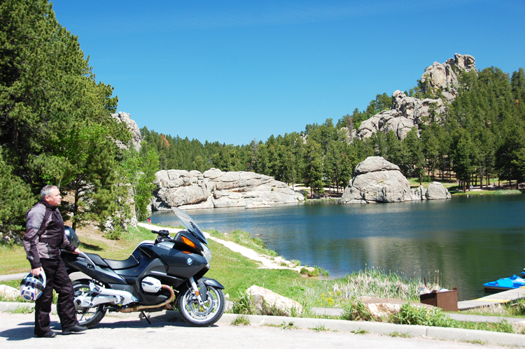
No, it wasn't bad planning on my part. It just occurred to me that being one of 500,000 motorcycles in the Black Hills might be a little overwhelming. So, arriving in June instead of August for my tour, I unload the BMW R 1200 RT, and check in to Deadwood's sumptuous Hickok's Hotel, where the historic atmosphere extends beyond all of the dark wood and period-style fittings. From my window, I have an excellent view of the mock gunfight that's staged outside on the street each night.
Sturgis
Though Deadwood nestles between steep hillsides, the 12-mile run to Sturgis is actually downhill on 14A through a dreamworld of sweepers and hairpins that turns into a traffic nightmare near the Interstate.

I head north on a straight two-lane highway to Newell, the "Sheep Capital of the USA," says the sign. (100,000 sheep are sold there annually in weekly auctions.) This is classic prairie and I could be almost anywhere in the Great Plains States with the continuously undulating landscape. The grassland is interrupted only by the occasional butte, though even these are softly rounded here, unlike the steeply ridged towering bluffs of Colorado and Utah. Arguably, Bear Butte's contours have a vaguely ursine contour, though Mud Butte is just a shallow ramble of brown hillocks. I pause by a historical marker that tells me the linear contours in the ditch next to the road are the wagon ruts made by settlers on the Bismarck-Deadwood Trail, and it also notes a massacre here, one of many in the Dakota Territory between 1876-1878, as white settlers parceled out the traditional Indian lands.
Faith is a tiny hamlet named for the daughter of the president of the Milwaukee Railroad, the line that opened up this territory to settlers. And faith is what the residents have in the rainfall that sustains their farms. The town's motto: "Next year will be better…" South toward Howes, the rolling green continues, like Ireland on steroids. They must get a lot of rain (or snow) here. Enjoying the fine grazing is a herd of buffalo - or are they bison? Apparently the North American beast is far closer related to other indigenous bovines than its distant African cousins, so bison they indeed are. Hunted close to extinction, partly as a way to deprive Plains Indians of their food supply, bison were eventually re-introduced from Canadian stock, but most modern herds are genetically impure.

Heading back toward Sturgis, I become aware of two factors: one, that at the speed I have been traveling, the R 1200 RT guzzles gas like a 747 on takeoff; and that the miles-to-go reading on the onboard computer is not quite linear. At one point, I see I have enough fuel for 80 miles and just 40 miles to the next gas station. Then suddenly, only 40 miles worth remains, and I'm still 30 miles out! I glide into Sturgis on fumes.
Through the Gap
I turn north again, this time on the Can-Am Highway, US 85 to Belle Fourche, named by voyageurs for the "beautiful fork" joining the Redwater and Belle Fourche Rivers. Nearby is the "Geographical Center of the Nation," a purely trigonometrical construct that takes into account Alaska, but conveniently not Hawaii, no doubt because otherwise the center would be out in the Pacific. In any case, reaching the "center" requires 15.6 miles of deep, coarse gravel. Tempting as it is, I decide to save that for another day.
The route north to Buffalo is quite smooth. The surrounding grassland barely undulates and Buffalo, too, is unremarkable except for a spectacular art-deco high school. Turning east on Hwy 20 toward Reva, entering Custer National Forest, I'm greeted by an abrupt canyon lined with buttes, hoodoos and standing rocks: Reva Gap. A sign promises an off-road rest area and overlook, so I ease the RT along the rutted dirt track, which soon dwindles to a single rut before fading out completely. Not wanting to ride the big Beemer into unmarked oblivion, I gingerly paddle her around and retreat to the road.