In Pursuit of Wildness: The Carrizo Plain National Monument

A sleeping giant lies on the valley floor between the Temblor Range and the Caliente Range. That is where this story begins. In 1857, the strongest earthquake in California’s recorded history ripped through the San Andreas Fault, wrenching the western side of the Carrizo Plain National Monument 31 feet northward. But today the giant quietly sleeps.
Carrizo Plain National Monument is readily accessed from the north on Highway 58, from the south on Highway 166 or, for the more adventurous, via the route from the east on Highway 33, up to the Temblor Range where “dispersed camping” is permitted. A campfire permit, which is required and free, can be obtained from the US Forest Service (USFS), Bureau of Land Management (BLM), National Park Service (NPS), and the California Department of Forestry and Fire Protection (CAL Fire), or at Prevent Wildfire CA.
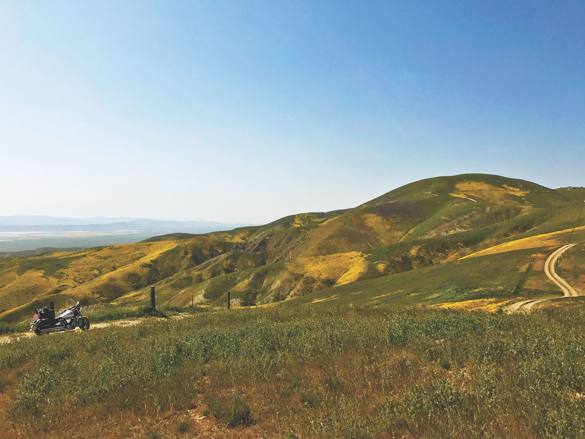
Once I leave Highway 33 near Taft, I’m confronted by three forks along a dirt road—one pointing south, one west, and one north. The route south looks good, but after five miles, I hit a dead end. A huge mountain covered in wildflowers stands before me. When lost, I try to stay calm and focused, and today the wildflowers along this canyon are my reward as I begin to capture the colors. Then, around the next bend, I am rewarded again by the appearance of an oblivious badger hunting for a meal. Back at the junction, I feel certain the road pointing west and up a steep hill has to be the right one. The wildflowers stop me every few hundred yards, and the sweeping views from the top of the Temblor Range have me looking down onto the valley floor. From this vantage, I can see the Sierra Range, which is in my backyard at Three Rivers. Tule elk and pronghorn antelope share the open plain below.