France: Col de l'Iseran—The Top of the World


It’s a Tuesday morning in late August. We are emerging from an underground parking garage for our first ride out into the French Alps. I’m on my Kawasaki Versys 1000 and my wife, Liz, is on her Yamaha Tracer 9. We brought the bikes here by trailer from our home in Austria several days ago, but it’s been raining until this morning.
We’ve chosen the town of Bourg-Saint-Maurice in southeastern France as our base for exploring the region’s mountain passes. Situated near to the Italian border, just south of Chamonix, it is an ideal location that affords easy access to several spectacular passes. Today we are heading out on what should be an impressive ride.
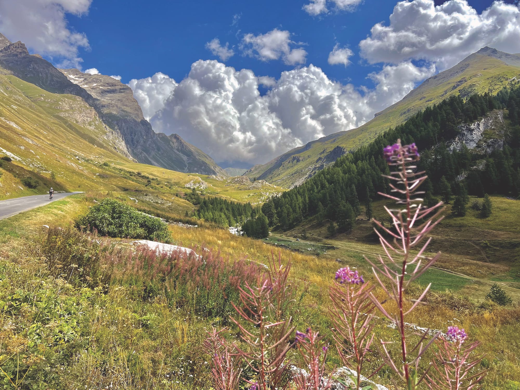
Rising from around 2,300 to 9,087 feet, Col de l’Iseran is reputedly the highest paved pass road in the Alps. It’s part of the Route Des Grandes Alpes and connects Val-d’Isère in the north with Bonneval-sur-Arc in the south. The road is only open in the summer due to heavy snow in the ski season. The Col de l’Iseran was first used in the Tour de France bicycle race in 1938 and has been used repeatedly since then. On both sides of the pass are cycling milestones showing distance to summit, current altitude, and average slope in the following miles.
Motorcycles & Gear
2022 Kawasaki Versys 1000
2022 Yamaha Tracer 9
Helmet: Shoei Neotec
Jacket: Held Cool System Leather, Helite airbag vest
Pants: ProBiker Textile
Boots: Alpinestars New Land Gore-Tex
Gloves: Vanucci Viscolab
Luggage: SW-Motech tankbag
Comm system: Sena 50S
High and Low Roads
We soon leave the town behind and proceed along D902 heading for Val-d’Isère. The road is painted with a stark lacework of shadows cast by the branches of the trees on both sides. The sunlight strobing across our visors is truly uplifting after the recent dark rainy days.
We pass through forested sections interspersed with more open rural scenery as we slowly climb toward Val-d’Isère. With a few hairpins and villages, the riding is pleasant but nothing that special—until we come to where the road splits. If you stay on the main route (the high road to the left), you’ll head directly up along the shoulder of the valley, which drops ever further below you to the right. You’ll pass through a tunnel and emerge with a vista of the dam ahead. The road rises above it, offering gorgeous views along its sweeping curve.
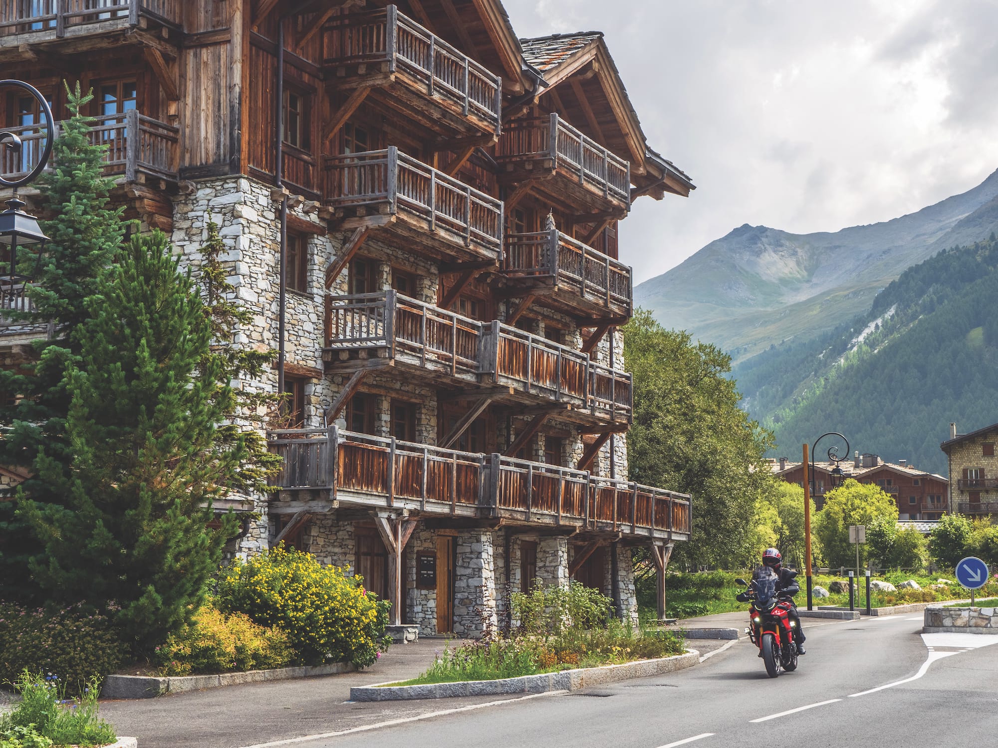
If you take the low road, it leads to the small village of Tignes-les-Brévières with its picturesque wooden houses and 16th-century church. It will eventually cross the dam to rejoin the high ride. So, it’s a bit like the old Scottish song: “You take the high road and I’ll take the low road, and we’ll meet again in Loch Lomond.” Only, in this case, we meet again at Lac du Chevril.