8 Epic Motorcycle Routes Near Fontana Dam, NC
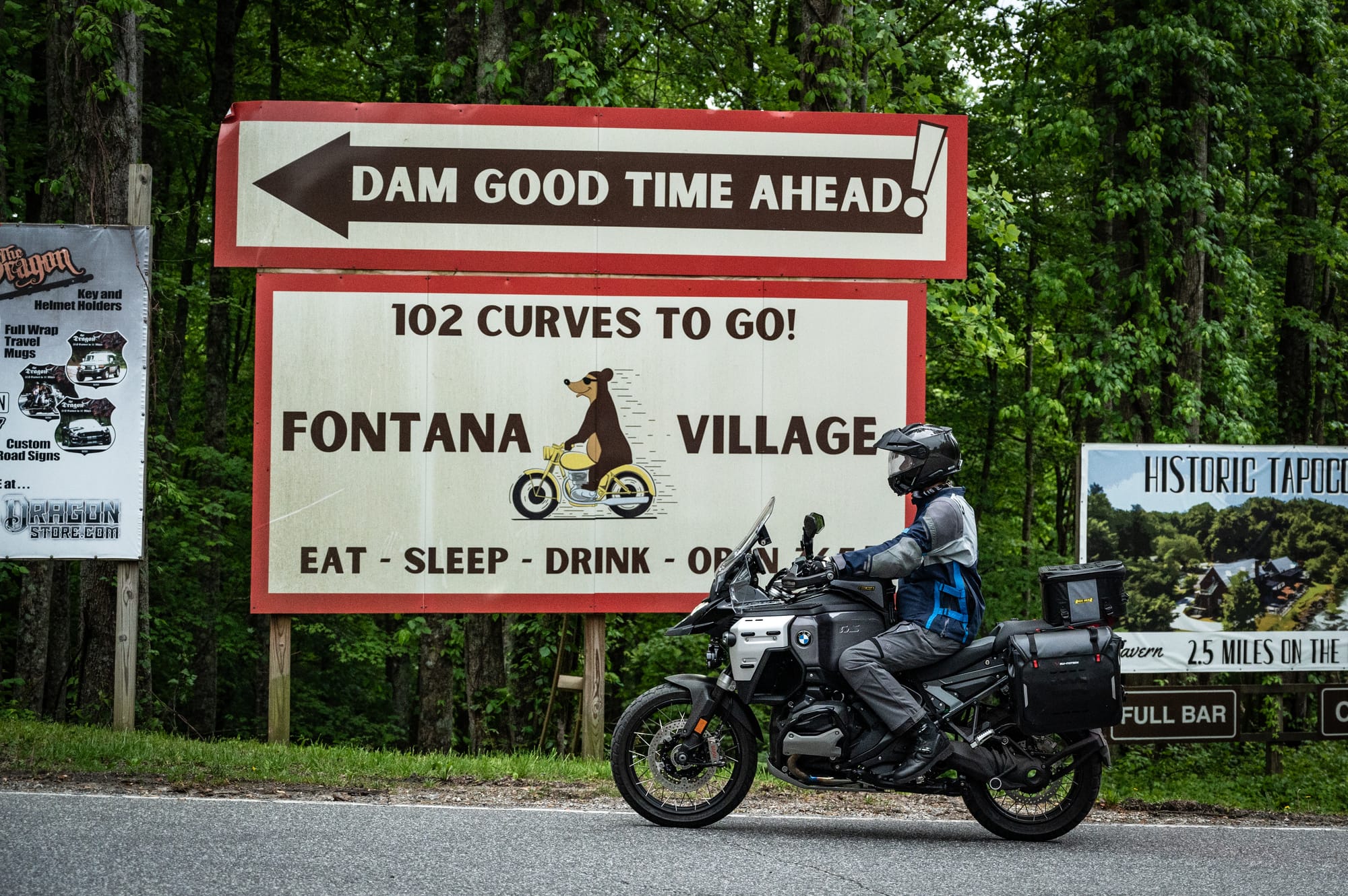
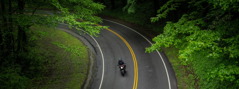
Nestled in the heart of North Carolina’s Smoky Mountains, this area offers sweeping curves, stunning lake views, and direct access to legendary motorcycle rides. Its quiet roads and remote setting make it a perfect place for riders seeking scenic adventure. Learn more about Fontana Dam, NC here.
How to Get The GPS Files
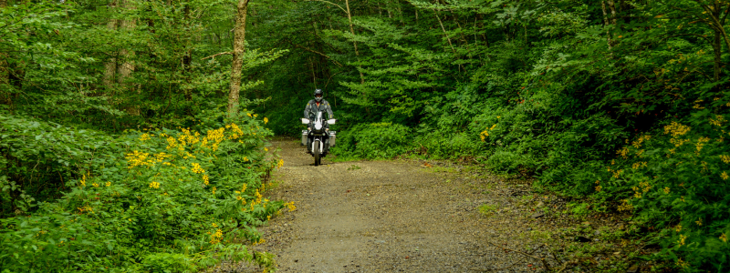
Scroll down on this page to read about each of the routes RoadRUNNER has put together for you. Some of the routes are all paved and some include gravel or dirt. All routes follow public access roads.
If you are already a RoadRUNNER WEB or FREE Newsletter subscriber, you’ll see the interactive map and GPS file download link at the bottom of this page. If you aren’t a subscriber yet, you can sign up for FREE below to access the map and download the route files on the bottom of this page.
Using the GPS files
The routes will download as a single .GPX file or .KML file. When you open the file, you'll see 8 individual route files, which you can separate.
The Gaia GPS app works great with our routes. The free version lets you see and follow tracks. Simply open the GPS file with the Gaia GPS app, wait a few seconds until the import has been completed, and then see them under the “Saved” tab, where you can toggle each loop on or off.
You can also load these routes into your Garmin GPS or other navigation app of your choice.
Cherohala & Dragon Loop
This route covers the roads you likely traveled here specifically to ride, the Cherohala Skyway and US 129, also known as The Dragon. We suggest riding this route in a clockwise direction and stopping for lunch in Tellico Plains, TN.
Surface: Paved
Distance: 134 miles
File name: CherohalaDragonLoop-Paved-134miles-RoadRUNNER
Yellow Creek Loop
This route is great for a quick spin if you’re short on time or just want to get a few extra miles in for the day. These roads are some of the best kept secrets of this area. Be sure to stop at Marie’s Lavender Farm along the way. You’ll enjoy little traffic, lots of curves, and beautiful North Carolina scenery.
Surface: Paved
Distance: 70 miles
File name: YellowCreek-Paved-70miles-RoadRUNNER
Moonshiner 28 to Franklin Loop
This loop includes Moonshiner 28, Wayah Rd, and the North Carolina side of US 129. Ride this loop in either direction and be sure to stop in Franklin, NC for lunch.
Surface: Paved
Distance: 120 miles
File name: MoonshinerToFranklin-Paved-120miles-RoadRUNNER
Newfound Gap Loop
Ride iconic roads like Newfound Gap, Little River Gorge, The Foothills Parkway, The Dragon, and Moonshiner 28. Be sure to plan enough time to stop at overlooks and points of interest. This route is best attempted during the swing seasons when fewer visitors are on the road. The Gatlinburg area gets very busy in the summer and fall.
Surface: Paved
Distance: 145 miles
File name: NewfoundGapLoop-Paved-145miles-RoadRUNNER
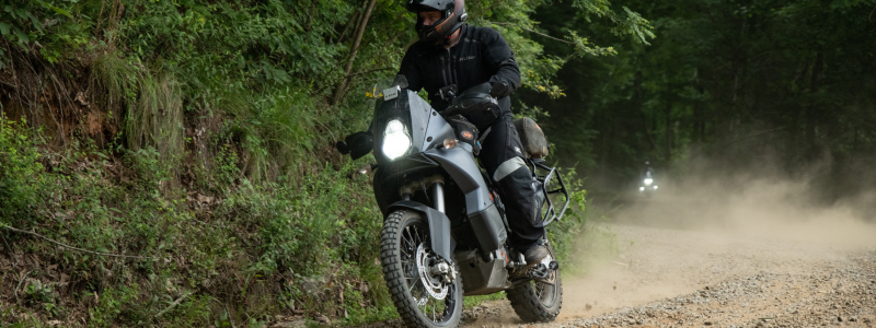
Tellico Loop
This route is suitable for adventure and dual-sport type motorcycles. It’s roughly 50/50 paved and gravel roads. Cross from North Carolina into Tennessee completely on gravel. Along the way, you’ll pass right by Bald River Falls, which is a great spot to stop and swim. Enjoy riding the gravel loop around Citico Creek and Indian Boundary before heading back towards Fontana on the Cherohala Skyway.
Surface: 50/50 gravel/paved
Distance: 177 miles
File name: TellicoLoop-DualSport-177miles-RoadRUNNER
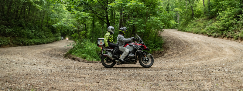
Gravelhala Dual Sport Loop
This dual sport route features lots of gravel switchbacks between North Carolina and Tennessee. Some of the stops along the way include Joanna Bald and Buck Bald. You’ll ride the “gravelhala” along the way as well. This is a longer ride, so be sure to start early. We suggest having lunch in Andrews, NC.
Surface: 60/40 paved/gravel
Distance: 241 miles
File name: Gravelhala-Dualsport-241miles-RoadRUNNER
Ultimate Adventure Tour
This full day adventure ride is split pavement and gravel. The route includes some paved favorites like Moonshiner 28 and Wayah Road, while also including lots of iconic gravel stretches like the “gravelhala”, Tellico Gap, and forest service road 82 through Joyce Kilmer Memorial Forest. This is a long route so be sure to leave early. We suggest having lunch in Franklin, NC.
Surface: 60/40 paved/gravel
Distance: 268 miles
File name: UltimateAdventureTour-DualSport-268miles-RoadRUNNER

Parson’s Branch & Cades Cove Loop
Parson’s Branch has been closed for over a decade, but recently the forest service opened it back up to traffic. It’s a 1-way gravel road that connects the Cades Cove loop to The Dragon. To get there, ride across the parkway and enter Cades Cove, a scenic 1-way loop with lots of places to stop and explore on foot. After making a full loop, circle back around and turn at the gate onto the gravel road. Parson’s Branch is 1-way and stretches about 10 miles. It will spit you out right on The Dragon around mile marker 4.
Surface: 90/10 paved/gravel
Distance: 97 miles
File name: ParsonsBranch-DualSport-97miles-RoadRUNNER
To view the map and download GPS files for these routes, subscribe now. Either the full WEB subscription or FREE newsletter subscription will unlock these routes.
Already a subscriber? Be sure you are logged in, then scroll down to view map.