Colorado: Off Road Across the Rockies


I could stay on I-70. It crosses the Rocky Mountains in a couple of hours—but this would be a waste of landscape and adventure. Here in Colorado, America’s major mountain range offers one fantastic and rare opportunity. You can cross it almost completely off-road. Not in hours, but rather in days.
A s soon I’m out of the Denver city limits, I get off the interstate and immediately feel as though I’m in the past. Georgetown receives me with its charming 8th Street as well as many historical houses that were built in the mining boom around 1860. At this time, Guanella Pass was built as well, serving as a wagon route between Georgetown and Grant. Its asphalt switchbacks take me out of town and leave me with fine views of the valley. Farther on I pass the aptly named Green Lake and Clear Lake. For the next few days, I’ll be riding on gravel—my favorite surface.
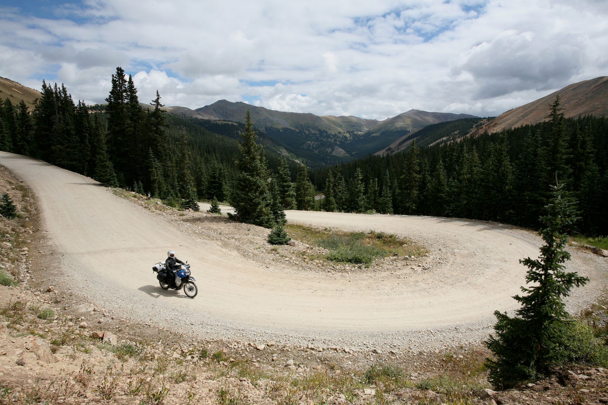
Though right here at the top of Guanella Pass (11,666 feet) there is nothing challenging, I feel very small. Grays Peak and Mount Bierstadt are more than 14,000-feet high. Once back down in Grant, I take Highway 285 for a 28-mile stretch toward the west. It leads me along the edge of South Park, 900 square miles of grassland in a broad valley flanked by the Mosquito and Park Mountain Ranges. This is quite a special ride. Sunlit white peaks glimmer to my right, and to my left huge meadows spread across the plain at an elevation of 10,000 feet. The air up here is very clear and allows endless views.
In Fairplay, mining was big as well. The town got its name from the opinion that every man would have an equal chance to stake a claim here. Some miles up the road, Alma shivers at 10,578 feet and proudly claims that it is one of the highest incorporated towns in the U.S. When I look around, it becomes obvious that this distinction must come with tough times in the colder months of the year.
Through the Relics of the Mining Past
Alma is also the low point of Mosquito Pass, the highest continuous road in Colorado that goes over a pass. What I don’t know yet is that it will be a challenge very different from the one before. It starts easy with a few bumpy sections as I ride toward the North London Mine—an impressive relic of the golden times of mining. Once past the mine, the KLR requires quite a bit of effort to negotiate the rocky sections and eroded spots. Some outstanding views from the top are the reward. The many switchbacks on the western side toward Leadville are comparatively easy then.
Motorcycle & Gear
2011 Kawasaki KLR 650
Helmet: Shoei Hornet DS
Jacket: Rukka Airpower
Pants: Rukka Airpower
Gloves: Rukka GORE-TEX X-TRAFIT
Boots: Meindl hiking boots
Tent: Hilleberg Nammatj 3
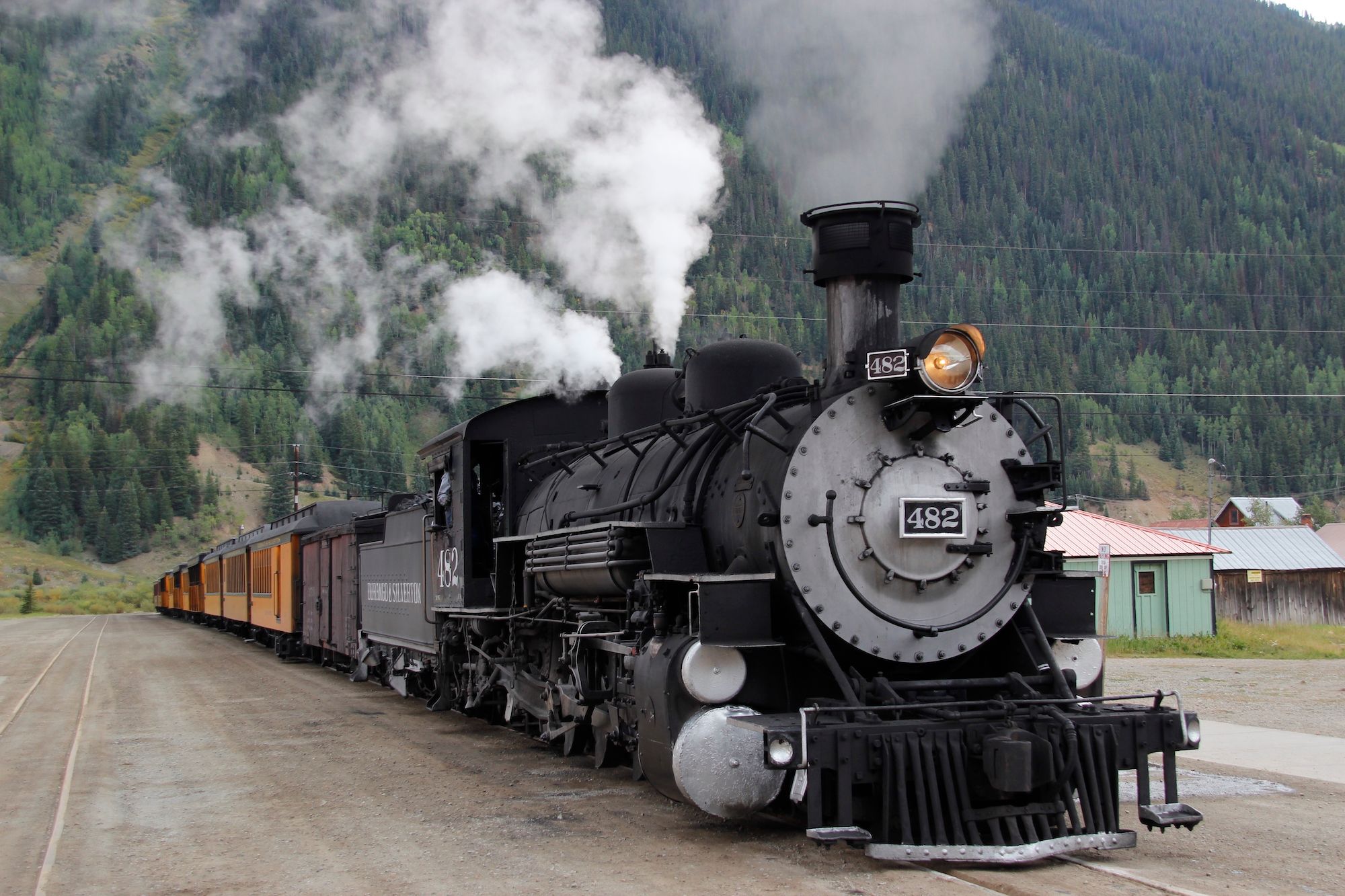
The town itself is definitely worth a visit. Walking along the splendid Main Street on a sunny summer day, it is hard to imagine the winters that dip below freezing. Still, in the late 19th century, Leadville was the second most populous city in Colorado after Denver. Riding out of town toward the south, the impact of mining on the environment is still visible as I pass some very dead-looking patches of land. A bit farther down, the landscape looks very much alive again when I follow the Arkansas River’s headwaters as far as Buena Vista.
Soon I start ascending Cottonwood Pass, which seems very tame at the beginning—nice asphalt, two pretty lakes, and a creek with some beaver dams. The higher I get, the more the road twists and turns until I hit the tree line right at the top of the pass. Up here I have to stop—and not just to take a picture of the Continental Divide sign! The view itself warrants a break. Interestingly, right here at the top, the surface changes from asphalt to a well-maintained gravel road with an abundance of beautiful corners and extends 13 miles downhill.

It is the second week in September, but down at Taylor Park, they are already preparing for winter. The only restaurant in town has already closed its doors. Fortunately, a small general store saves me. I turn toward Tincup, a former mining town and home to only a couple of people who live there year-round. The place looks great with its restored residences, as though nothing has changed in 150 years.
Beyond the town, Cumberland Pass starts. For a while, it follows a creek with one beaver dam after another before it climbs a slope via several switchbacks to the top at 12,200 feet. It’s so beautiful up here beyond the tree line that I don’t want to go down again. So I take the opportunity for a turn off on top of the pass, which takes me even higher. I climb about three-quarters of a mile and end up with a 360-degree view. According to a guide I meet later in Pitkin, about 50 miles of the Continental Divide are visible from here.