Western Iowa

Iowa, as everyone in Wisconsin knows, is that big flat place to the west where they grow corn and where all the crummy weather comes from that hits us about three days later. That's why our "gang" had to be nuts to even start a tour, heading straight into the worst weather in over 100 years. Biblical weather - torrential rain, lightning, hail, 50-mph winds, flooding and tornadoes - was in store for us and yet, we never got wet.
It all starts on our way to Sioux City, Iowa, when John on his basic black '97 Harley FXD, Kent and Dorothy on their hygienic white '05 Honda Gold Wing and I, aboard a copper-and-black 105th anniversary edition '08 Harley Ultra Classic, are slammed by 30-mph crosswinds with gusts to 50 mph. There are whitecaps in the flooded fields, for goodness' sake! When a semi passes, it feels like we are going to be pushed clear off the road, but there's no rain. Throughout the entire trip we keep "just missing" the rain. We stop to eat, and the gray skies open up in a torrent that knocks squirrels out of the trees. We finish our meal, and the rain stops. We ride for hours under billowing black clouds with the weather band making dire predictions, but it always just misses us or hits while we're sleeping.
While looking over our maps in the planning stages, we couldn't help noticing that wet and wild Iowa is actually book-ended between two of our country's most important and historic rivers, the Mississippi and the Missouri. Although both borders are lined with some hill country, the west, or Missouri side, rolls more and therefore it became the focus of our tour. This region is known as The Loess Hills National Scenic Byway Spine and Excursion Loops. The "spine" represents the major (paved) roadways. The "excursion loops," 16 in all, are the gravel side roads that venture into the hills and then loop back out to the spine a mile or more up the road. The Loess Hills area is 200 miles long (running from Sioux City, on the northern end, to St. Joseph, Missouri, in the south), and it's up to 15 miles wide.
Motorcycle & Gear
2008 Harley-Davidson Ultra Classic Electra Glide
Jacket: H-D FXRG Midweight Leather
Helmet: H-D System Full Face
Gloves: H-D Windshielder Gauntlet
Rain Suit: H-D High Visibility
Getting There, More or Loess
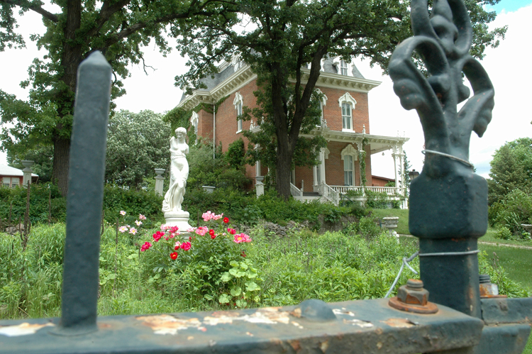
We are riding the Byway from Waubonsie, in southern Iowa, all the way to Westfield, in north-central Iowa. With a sprint over the Missouri River and down through Nebraska, then back again over the river into Iowa, and returning to Sioux City is a distance of 454 miles. The height of the hills ranges from 200 feet down to only a few feet, and their composition is truly prehistoric: glacial filings as fine as flour called loess (pronounced "luss"). The action of wind and time blew them into dunes, which were covered with topsoil, vegetation, and numerous wildflowers. If you strip off the protective layer of topsoil and expose the loess to rain, it will dissolve. These hills are enlivened with all your common midwestern birds and critters and by the industry of farmhands in the little valleys. If they're not raising a cash crop in the bottomland west of the hills, they're grazing cattle, sheep or goats in the hills, watering them at the rushing streams and shimmering ponds. And we can tell from the number of empty boat trailers that they are getting in some pretty good fishing too.

Our group, now dubbed "The River Rats," begins its loop tour in Sioux City, Iowa. This is Lewis and Clark Country. They came through here in 1804 on their way west, and it's not hard to find commemoration of the pair and their expedition in historic plaques, street signs, museums, pizza joints and town names. However, one of the largest of the monuments, located on a bluff overlooking the Missouri River just south of Sioux City, on business Hwy 75, isn't named for Lewis or Clark. It's the Sgt. Charles Floyd Monument, built in 1901 to honor the only member of the Lewis & Clark Expedition to die during their explorations.
On our second day, we point our wheels north from Sioux City onto the Loess Scenic Byway, heading for Westfield, Iowa, west over the Missouri River, to just "nick" the southeast corner of South Dakota, and then turn south to our next overnight in Blair, Nebraska, 20 miles north of Omaha. Tornado sirens jar us awake at 2:45 a.m. By 3:00 everyone in the motel is seated in the hallways with their backs pressed against the walls - everyone, that is, except for John and me. While John is filling the bathtub with pillows, I stand with my attention split between the window scene (never recommended as a vantage point) and the massive red-and-orange blobs engulfing the entire area on the Weather Channel, prominently displaying stark tornado swirls - one above and one below us.