Labrador, Canada: Just Keep Riding North

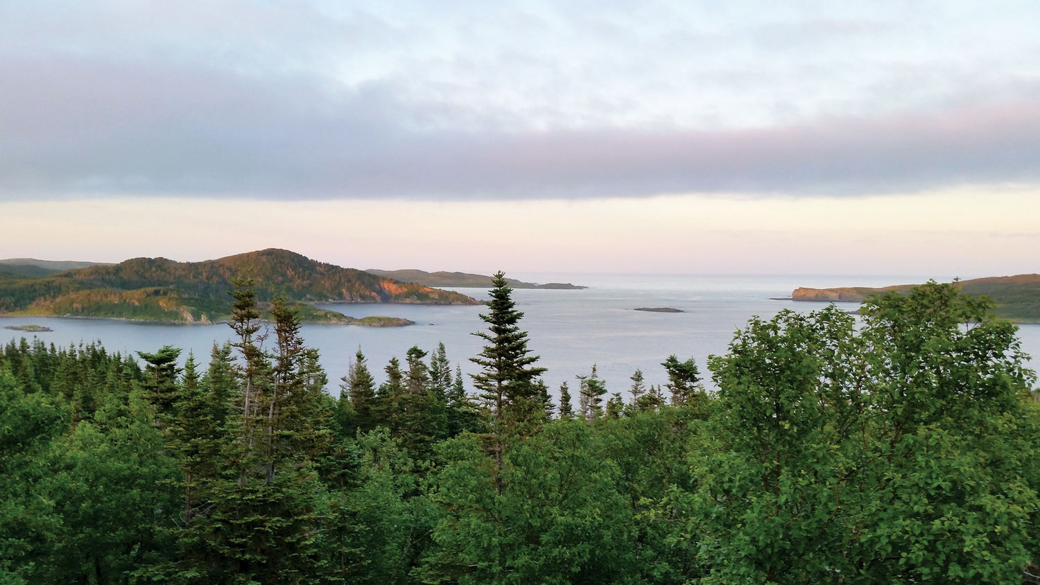
Bouncing down the endless gravel roads of the Trans-Labrador Highway (TLH), it becomes clear why Labrador is nicknamed “The Big Land.” It’s vast with a capital V.
“How far north can I ride from Lake George, NY?”
That question arises with an email from Tom Nelson, an architect, sports car racer, and adventurer who I met several years earlier while riding to Tierra del Fuego. He wants to fly east from his Oregon home and ride the TLH. It runs 775 miles through dense wilderness, and there’s an infamous 250-mile dirt section between Happy Valley-Goose Bay and Mary’s Harbour with no habitation whatsoever.
It’s August and there’s adventure to be grabbed here, riding the “Trans Lab” before it gets fully paved. Since its partial (dirt) completion in 1992, Labrador’s been beavering away, paving more miles each year. Give it another decade and RVs may be whistling smoothly from Montreal to the Atlantic Coast! For now, I’m ready to kick it on my Kawasaki KLR 650.

A Closer Look: The Eye of Québec
Near Burlington, VT, I meet Tom (on his Suzuki V-Strom) and Yamaha Ténéré-mounted Mike Mathews, an experienced world traveler and successful vintage bike racer. Mike’s girlfriend, Linda, will be his co-rider and our talented photographer. We depart for the border, led by my older son, Mickey, on his Suzuki DR650.
Border customs entering Québec is no problem. Heading northeast along the north side of the St. Lawrence, I note that each bike has its own unique signature sound: the steady pop of my simple single, the rhythmic rumble of Tom’s 650 V-twin, and the powerful drone of Mike’s sophisticated 1200cc parallel twin.
At Baie-Comeau we turn northward toward Labrador City and the TLH, enjoying the ribbon of asphalt on Route 389. We’re about to visit one of the most distinctive spots on the planet, the largest “visible” impact crater on earth: The Manicouagan Crater, aka “the eye of Québec.”

Easily seen from space and on any map, it was created by a large three-mile diameter asteroid over 200 million years ago. This earth-shattering event created the 45-mile wide Manicouagan Reservoir, which serves as a giant headpond for Hydro-Québec’s massive power generating stations, including the iconic Daniel-Johnson Dam and the Manic-5 generating station.
The world’s largest hydroelectric producer sends electricity from there to Québec and the entire northeastern U.S. We’ll see a lot of Hydro-Québec on this ride because this government-owned utility company is one of the main justifications for the TLH itself. They have to get trucks to their enormous Churchill Falls generating station, which we’ll see later.