Waterton-Glacier International Peace Park Loop: Riding the Crown of the Continent

It is closer to bedtime than it is to dinnertime when I finally park the bike. But the kitchen is open until 10 p.m. here at Vimy’s Lounge & Grill at the Waterton Lakes Resort, so I order yak meatballs (since they are fresh out of elk chili) and get a room for the night. I am at the end of a satisfying day of riding along a portion of the Waterton-Glacier International Peace Park Loop, a route that I plucked from drivethetop10.com. The loop winds through Waterton Lakes and Glacier National Parks and cuts through sections of Montana, British Columbia, and the Alberta Rocky Mountains.
Today’s journey began at sunrise around 340 miles ago at the Montana Harley-Davidson in Missoula, where they provided me with an Apple Green 2011 Harley-Davidson Electra Glide Ultra Limited. I plugged in a GPS, crammed the saddlebags with gear for sun, rain, or snow, and pointed the Harley’s batwing nose north on U.S. 93 toward Canada.
Earlier that day . . .
Soon after leaving the Harley dealership, I pass the small town of Ravalli and scan the horizon for bison as I ride by the National Bison Range, which has been a refuge for these animals for more than a century. But I don’t spot any beasts in the grassy hills, which are starting to brown since it is late September. Snow could come any day now.
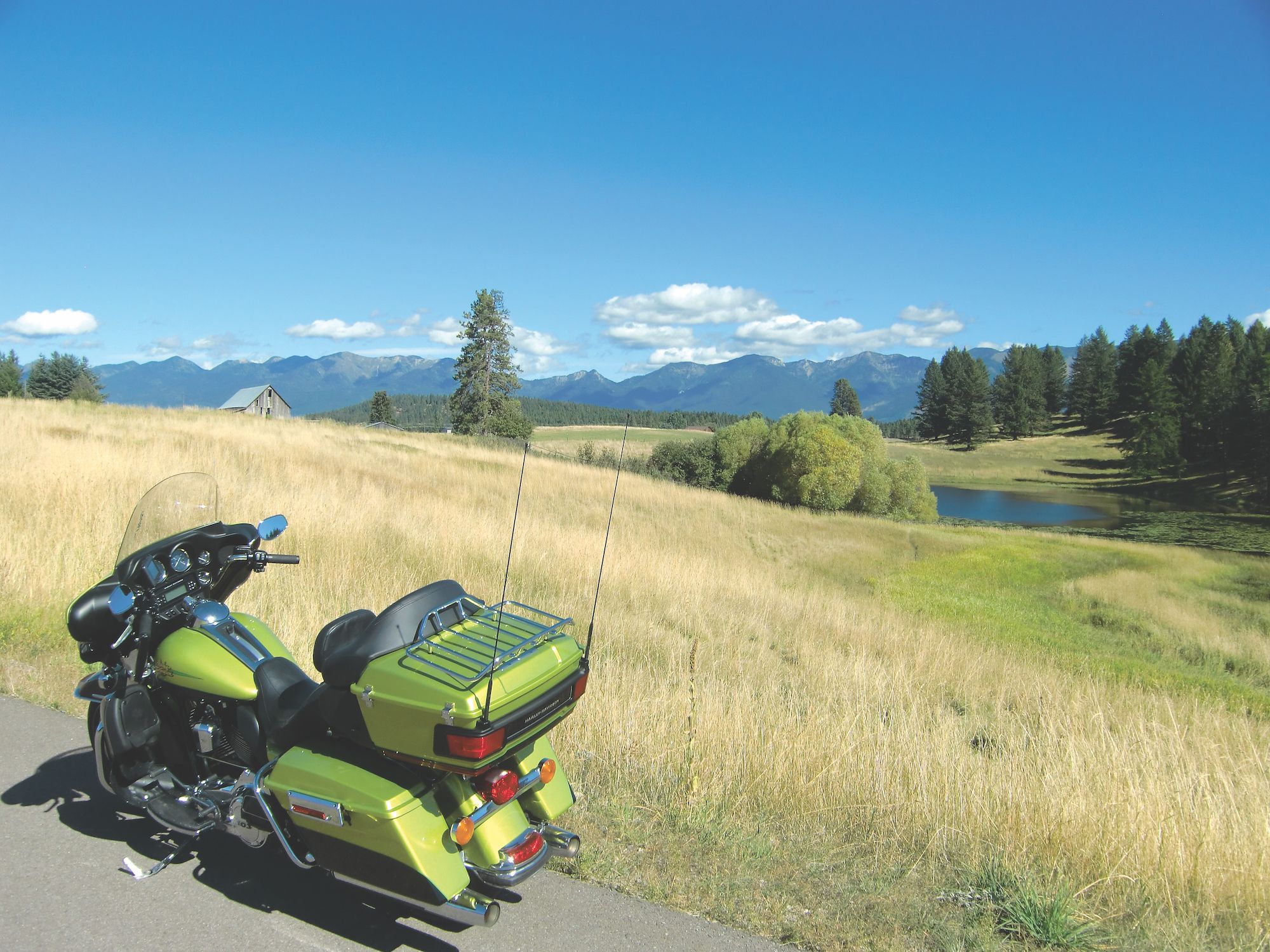
But this day is warm and sunny, and my next stop is in the sleepy town of St. Ignatius. I relax inside the St. Ignatius Church, gazing up at the opulent murals and frescos that adorn the ceilings and walls, all lit up by sunshine streaming in through stained-glass windows.
Back on the bike and a half hour’s ride from St. Ignatius, I easily find Main Street in Polson, where I stop at a bakery to meet Dylan Boyle, the regional project coordinator for Crown of the Continent. He gives me a Crown of the Continent map and points out some must-see nuggets along my route.
Armed with my new map, I cross a bridge and follow the gently twisting U.S. 93 that hugs the west shore of Flathead Lake and then motor through the modern Kalispell, past supermarkets and fast-food chains, and then 20 minutes more to the rustic-looking ski town of Whitefish. An hour more of riding and I arrive in the quaint artisan town of Eureka for a visit at the Chamber of Commerce and a walk through its historic village, which is a collection of structures and artifacts that show what life was like in the past here in the Tobacco Valley.

The Canadian border is a mere 15 minutes from Eureka, and the road into British Columbia slices through grasslands of the Tobacco Plains Reserve. I merge east onto Crowsnest Highway/BC-3, and another 15 minutes later I am in downtown Fernie, a charming ski resort town nestled in a valley of the Canadian Rockies.
I stop for a quick visit with Fernie’s tourism staffer at the Brickhouse, a bar and grill housed inside a century-old red-brick building that used to be a bank, among other things, and still has the old vault door downstairs where live bands and DJs entertain locals and tourists.
Splashes of pink and purple paint the sky when I am finally back on Crowsnest Highway heading to Pincher Creek, about 70 miles away. The scenic road crisscrosses a bubbling stream through evergreens, but it turns dark long before I reach my next turn-off at AB-6, where I go south for 40 miles to Waterton Village and Vimy’s for the yak meatballs and my bed for the night.