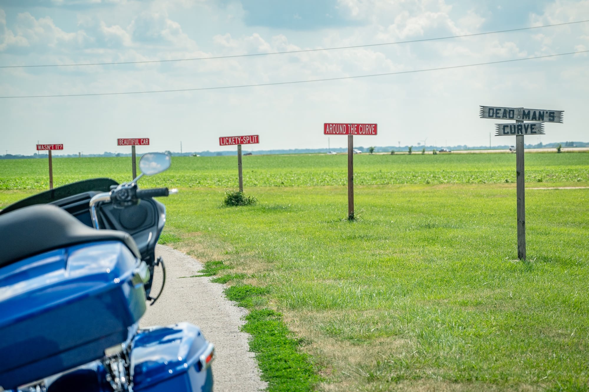
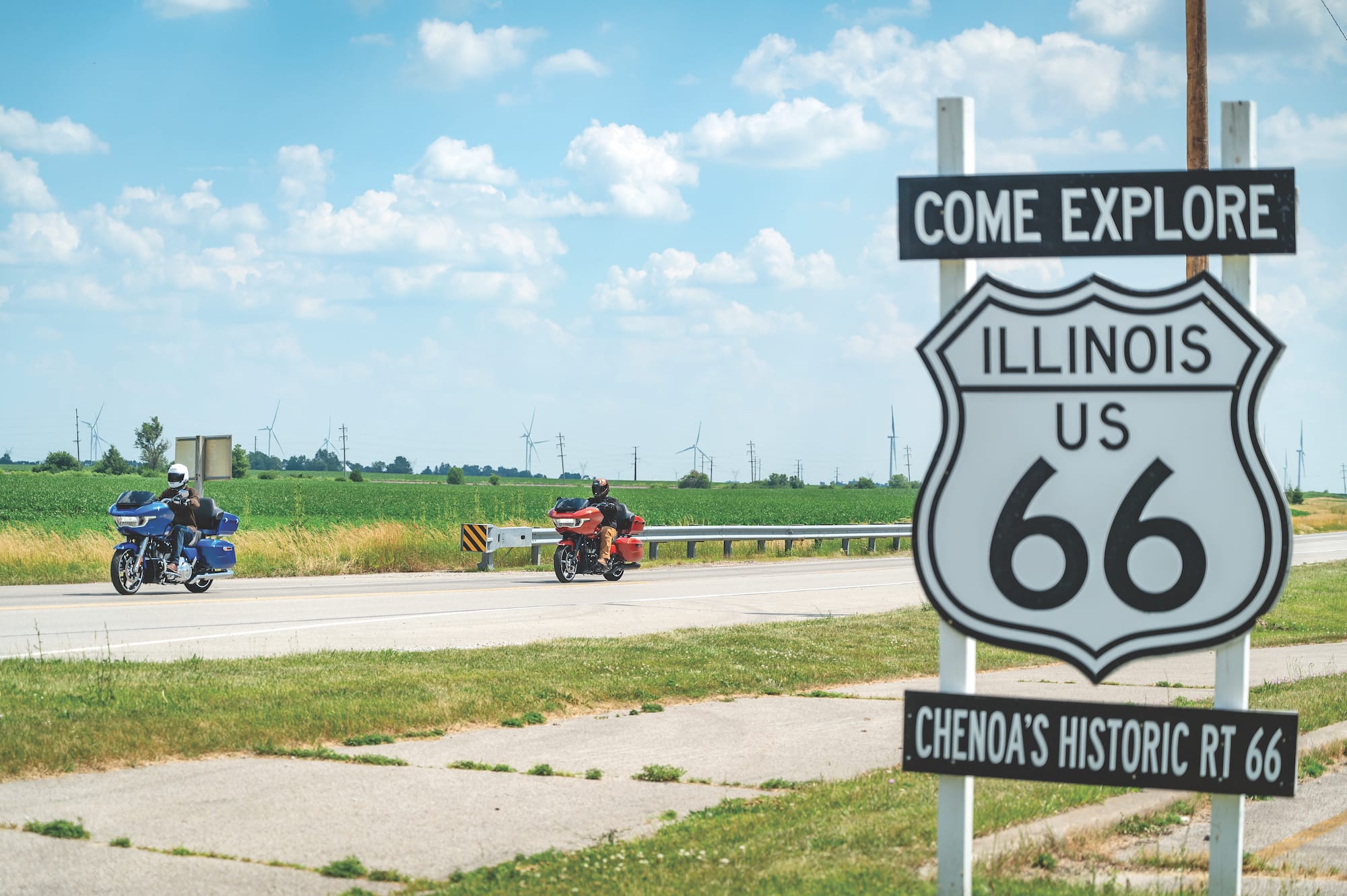
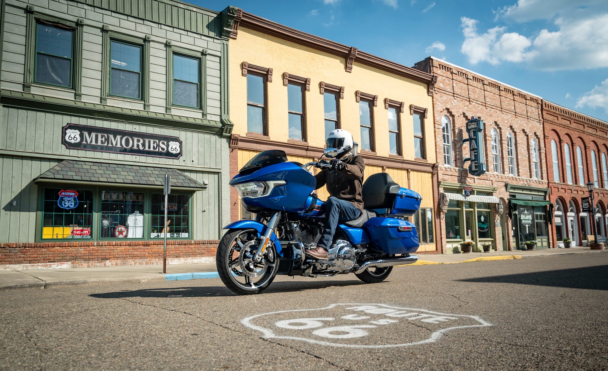
Continent: North America  

10 article(s) found.

Rockville, Indiana, Shamrock Tour®

January/February 2012

Rockville, Indiana, Shamrock Tour®

A horse-drawn buggy moves at a trot along a gravel road walled-in by regimented rows of verdant green cornstalks. The driver slows the horse to a walk before entering the dark confines of a red covered bridge, gracefully spanning a laconic stream’s slow-moving waters. The buggy emerges on the other side and disappears around a bend in the road. Such are the nostalgic images that spring to mind in the 21st century whenever one discovers a covered bridge on a lonely backroad to nowhere.
Read Article Download GPS File Download Tankbag Map View On Map
Part III: Illinois, Indiana, Ohio via Route 50

March/April 2011

Part III: Illinois, Indiana, Ohio via Route 50

For the better part of our journey across the United States, Kathy and I have felt that we were being followed. Like the incessant footfalls of an unseen pursuer, the potential for rain and nasty weather has plagued our daily routine. Though drops have not always fallen, the need to keep the raingear handy has loomed all-too-large. But for a day, at least, we seem to have shaken that specter.
Read Article Download GPS File Download Tankbag Map View On Map
Shamrock Tour® - Hannibal, Missouri

January/February 2011

Shamrock Tour® - Hannibal, Missouri

Designate a pivot point for the Midwest and it could surely be Hannibal, MO. Located on the Mississippi River north of St Louis, MO, and south of Quincy, IL, it's darn close to dead center. It's the bastion of Midwest "manners," a mix of Southern Baptist honesty and Midwest hospitality.
Read Article Download GPS File Download Tankbag Map View On Map
PART I: Ohio River Scenic Byway  -  Cairo, IL to Maysville, KY

November/December 2009

PART I: Ohio River Scenic Byway - Cairo, IL to Maysville, KY

Our time on the Ohio River Scenic Byway is a journey that starts at river's end and flows almost a thousand miles upstream to its beginning, passing through an ever-changing landscape of people, history, scenery, and events.
Read Article Download GPS File Download Tankbag Map View On Map
Part 2: St Clairsvile, OH to Vandalia, IL

September/October 2009

Part 2: St Clairsvile, OH to Vandalia, IL

Because the National Road had channeled considerable prosperity to communities along its path east of the Ohio River, the states of Ohio, Indiana and Illinois implored Congress to extend the road through their territories, all the way to the Mississippi River. As the National Road stretched westward, however, trains became a more efficient form of transportation, making National Road travel obsolete, and funding dried up before the historic road ever reached the Big Muddy.
Read Article Download GPS File Download Tankbag Map View On Map