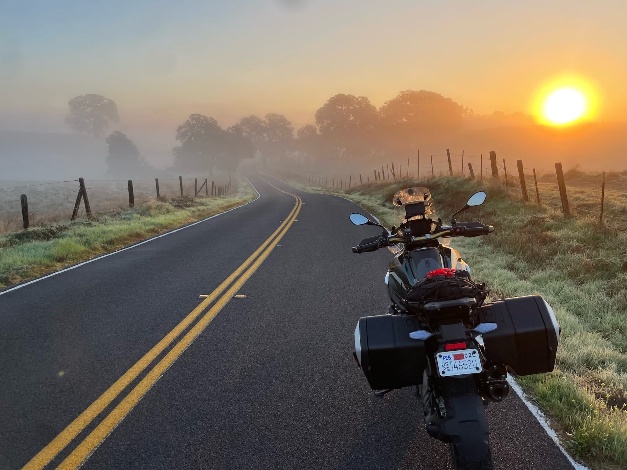
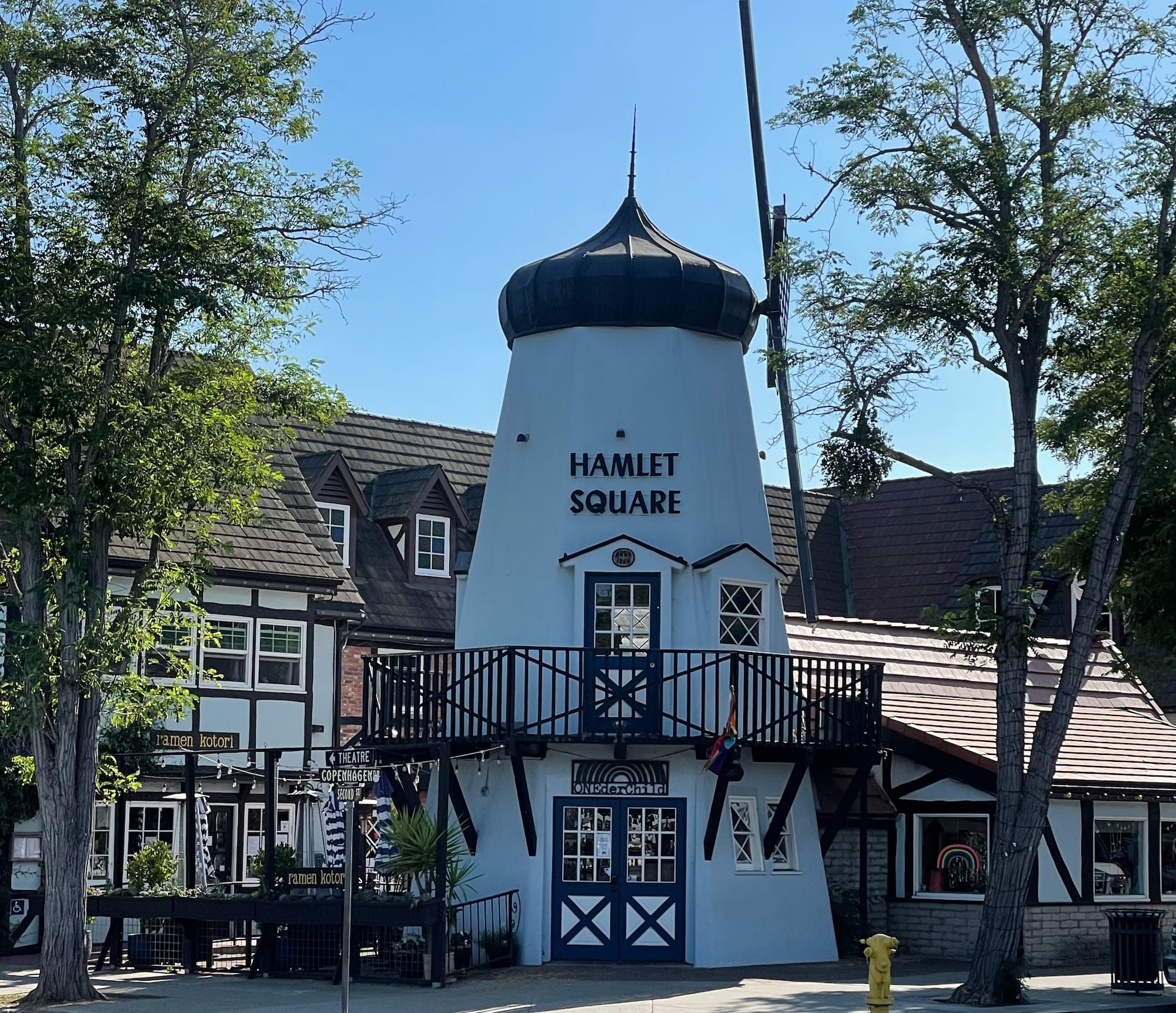
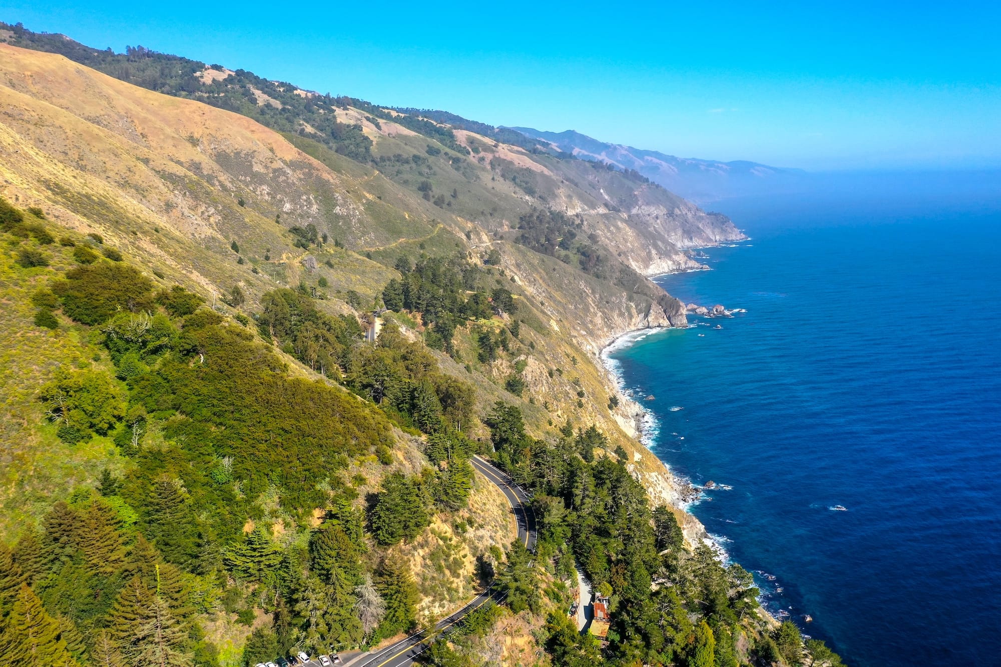
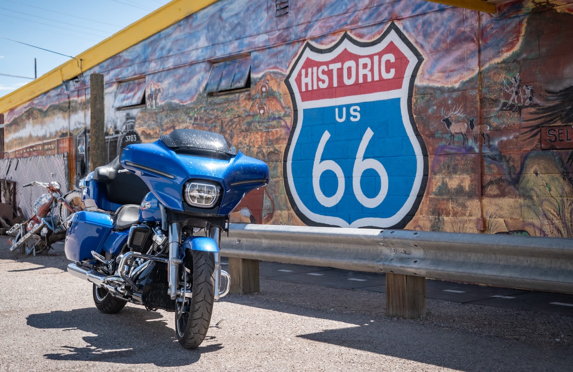
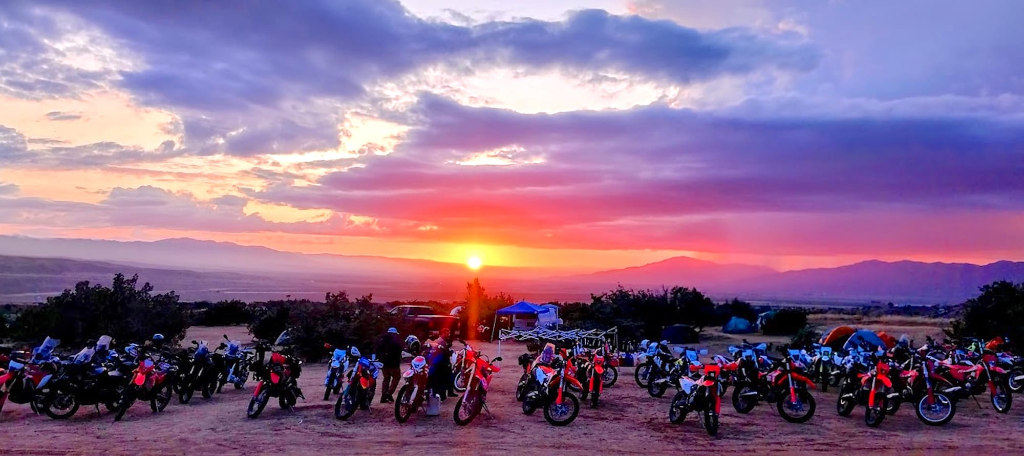
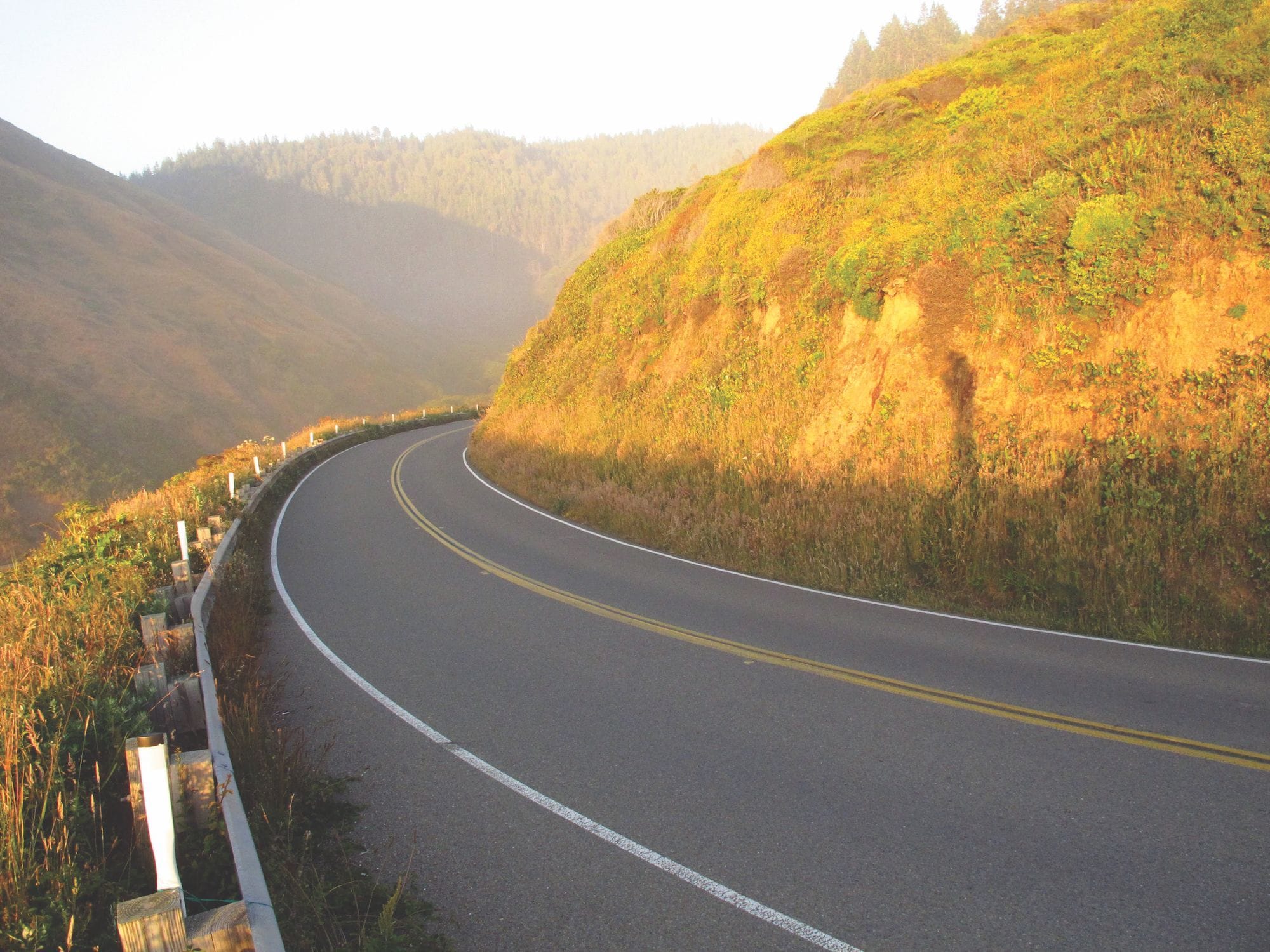
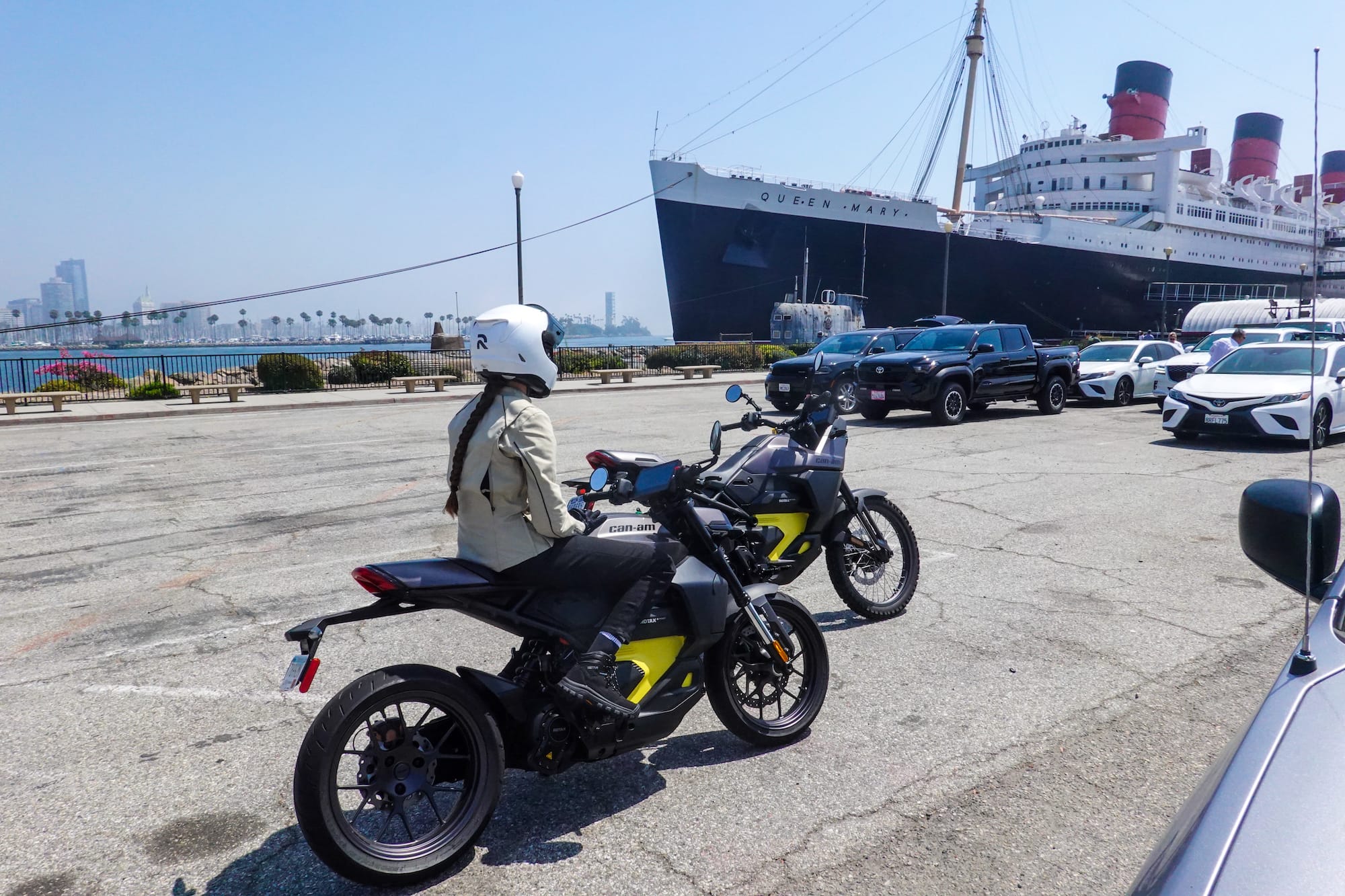
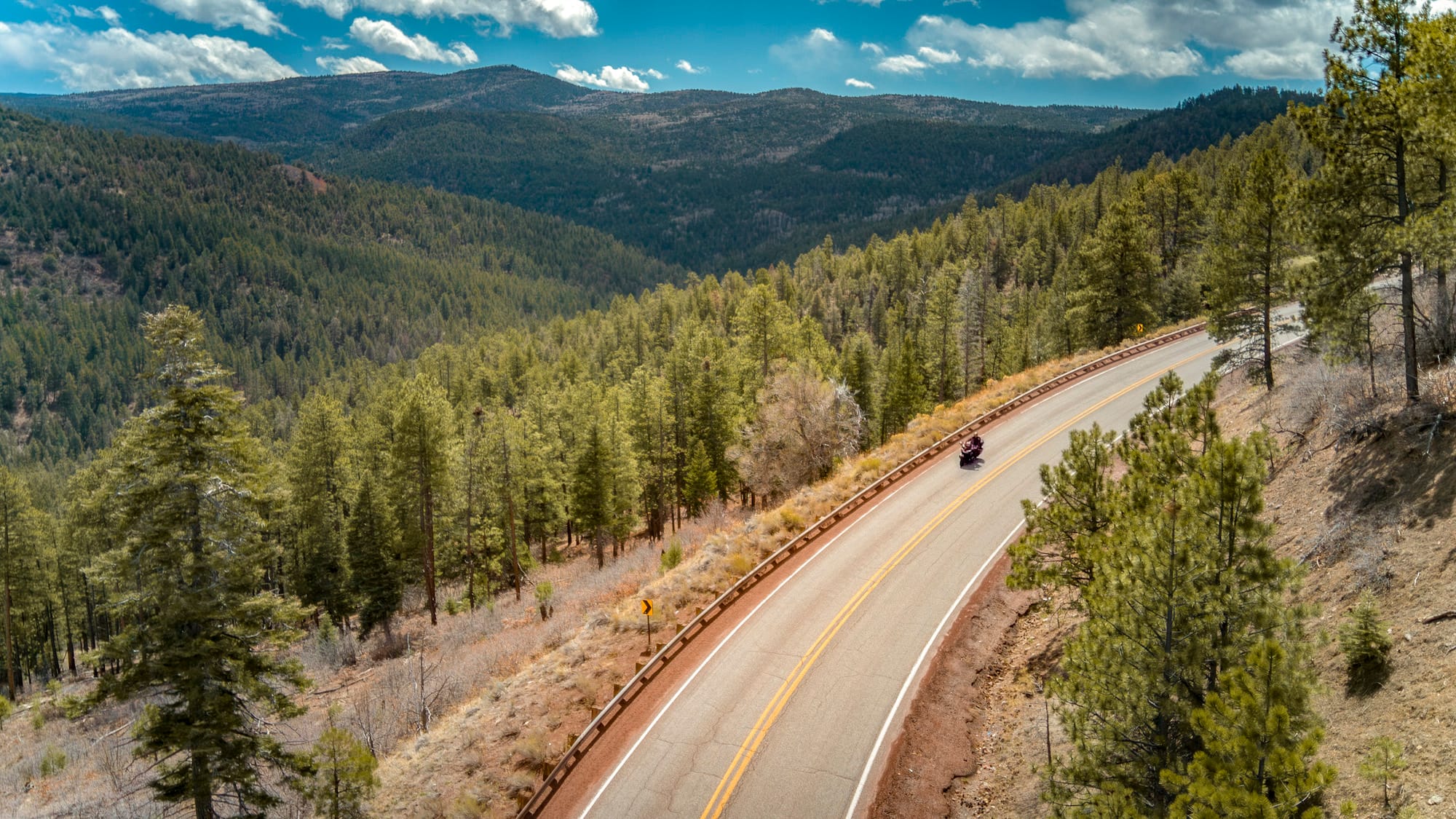
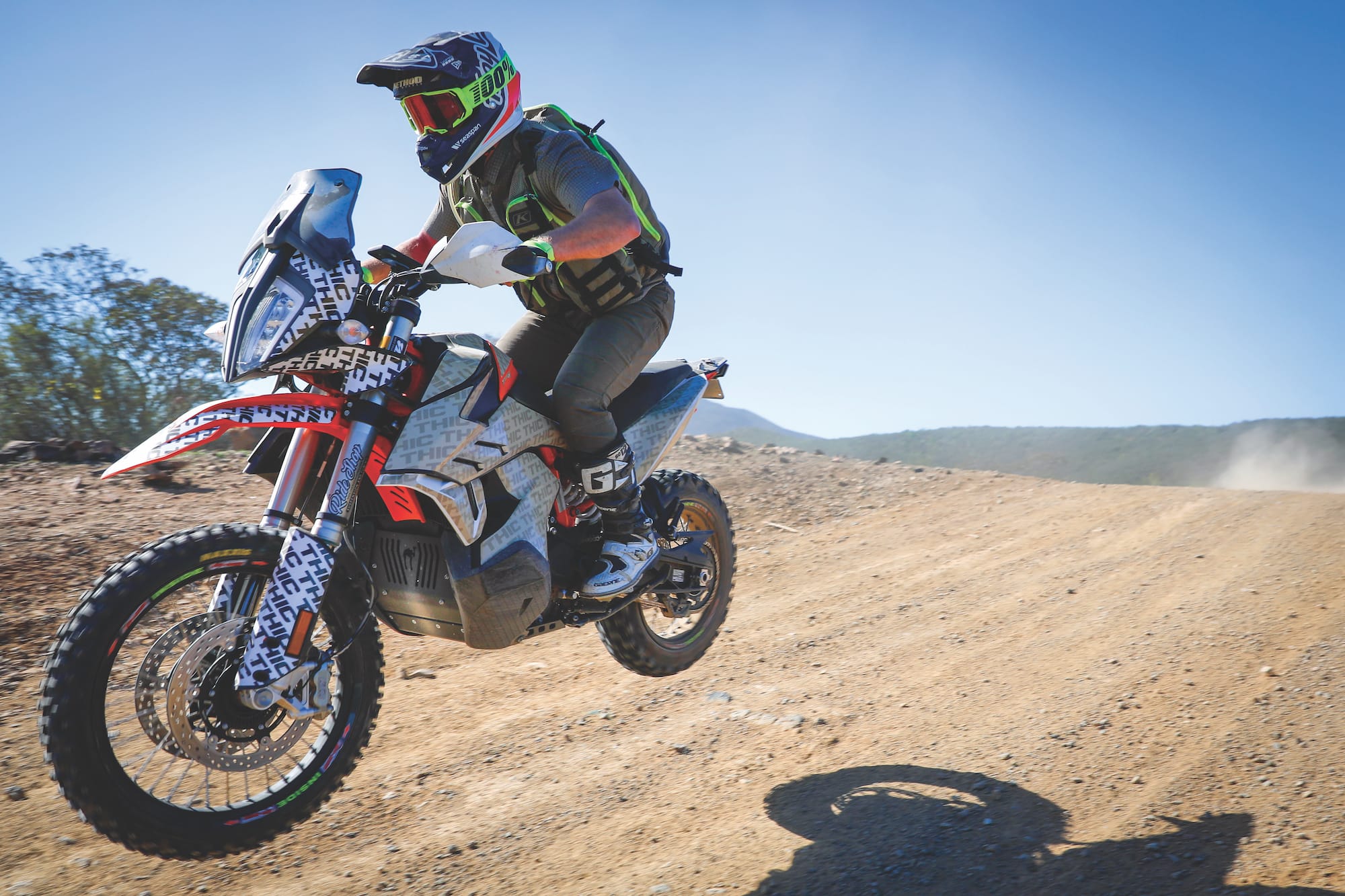
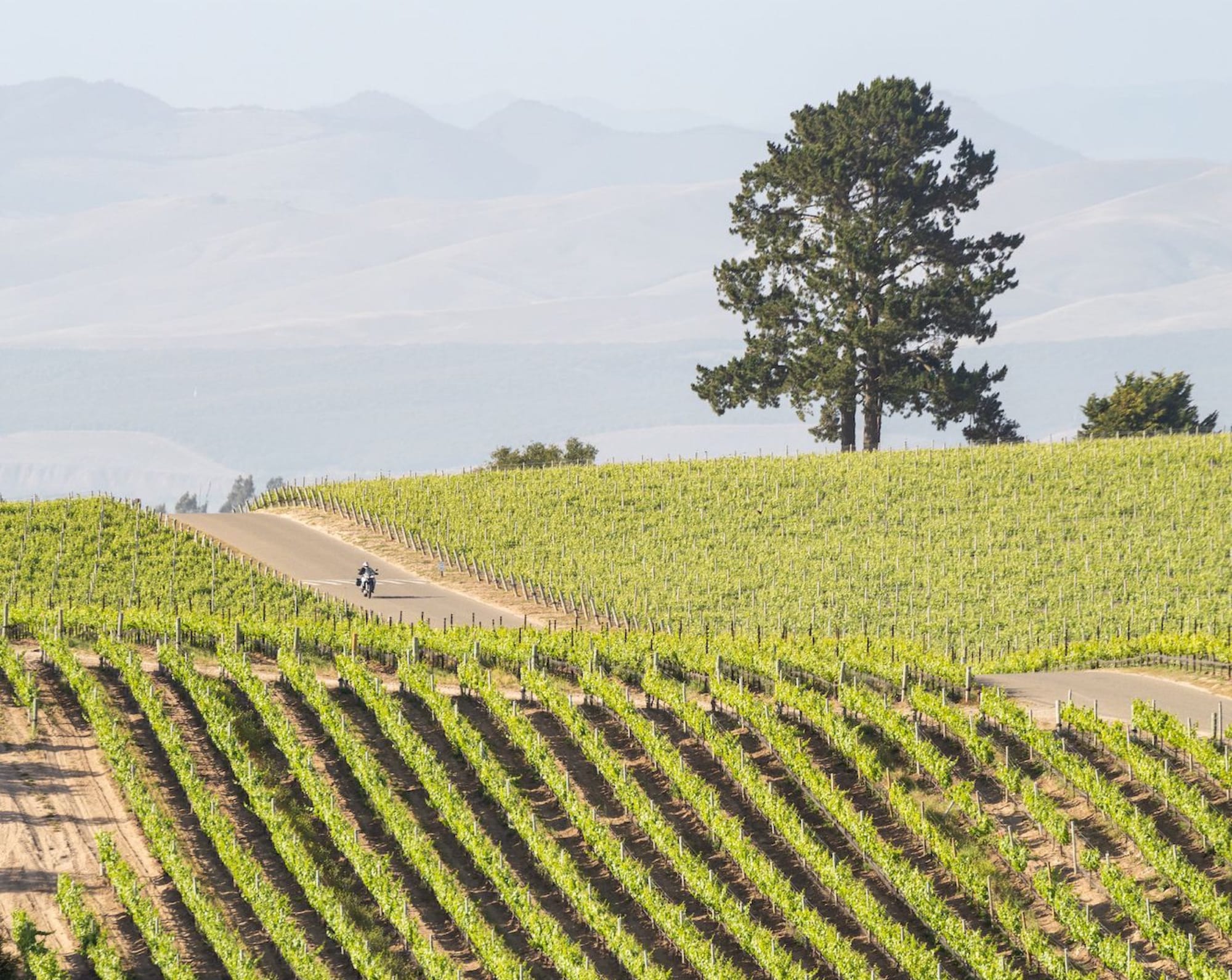
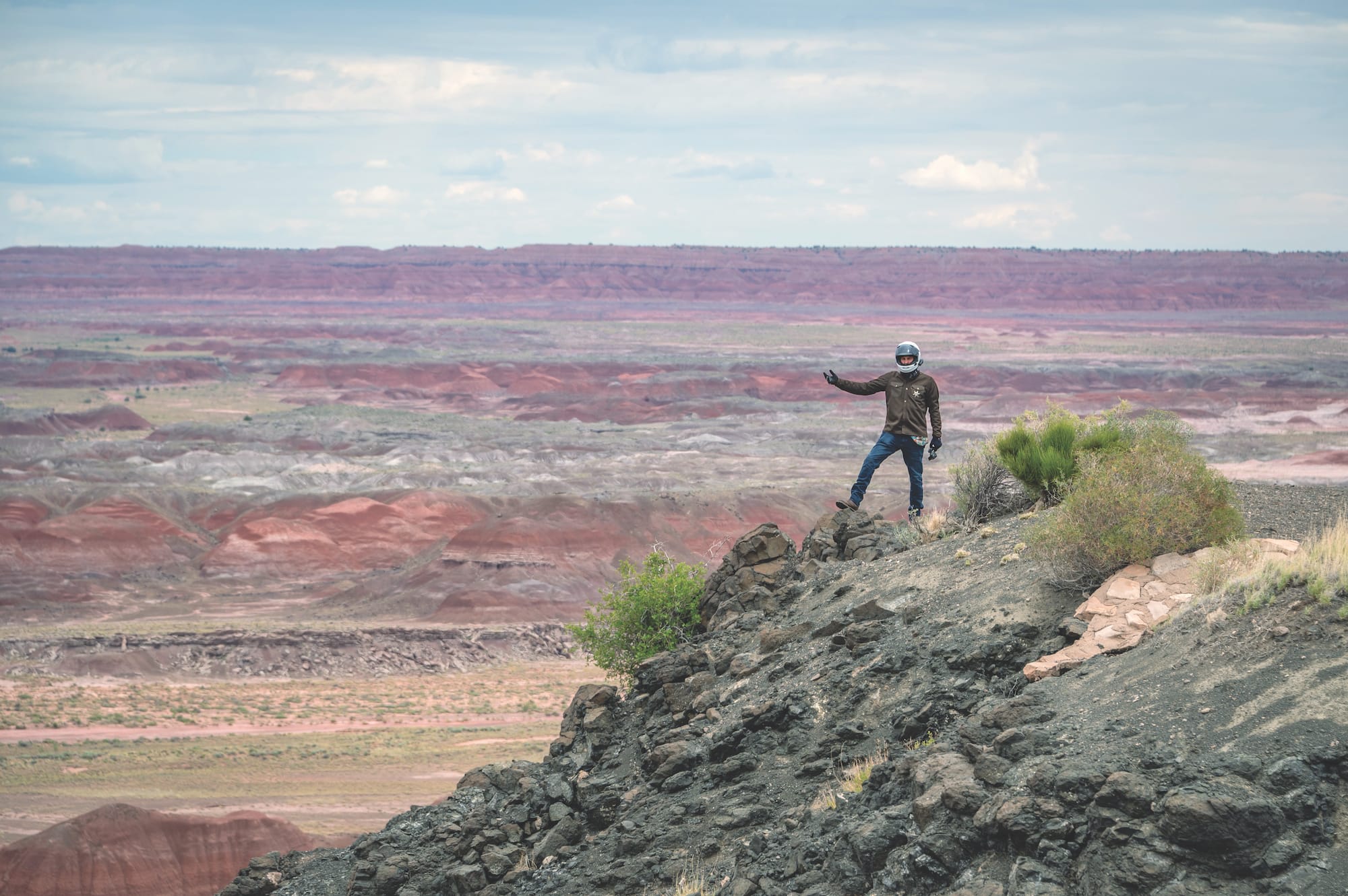
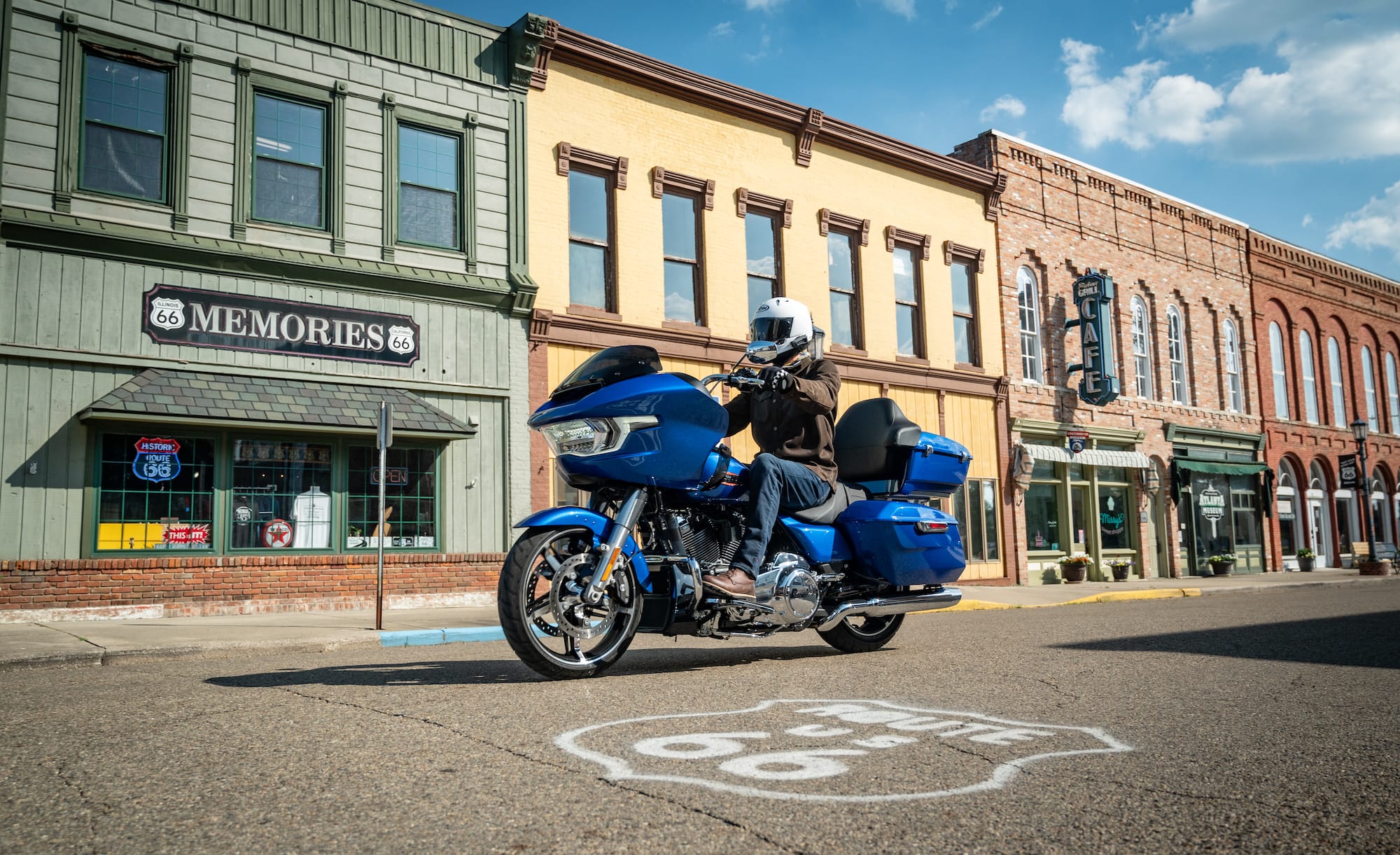
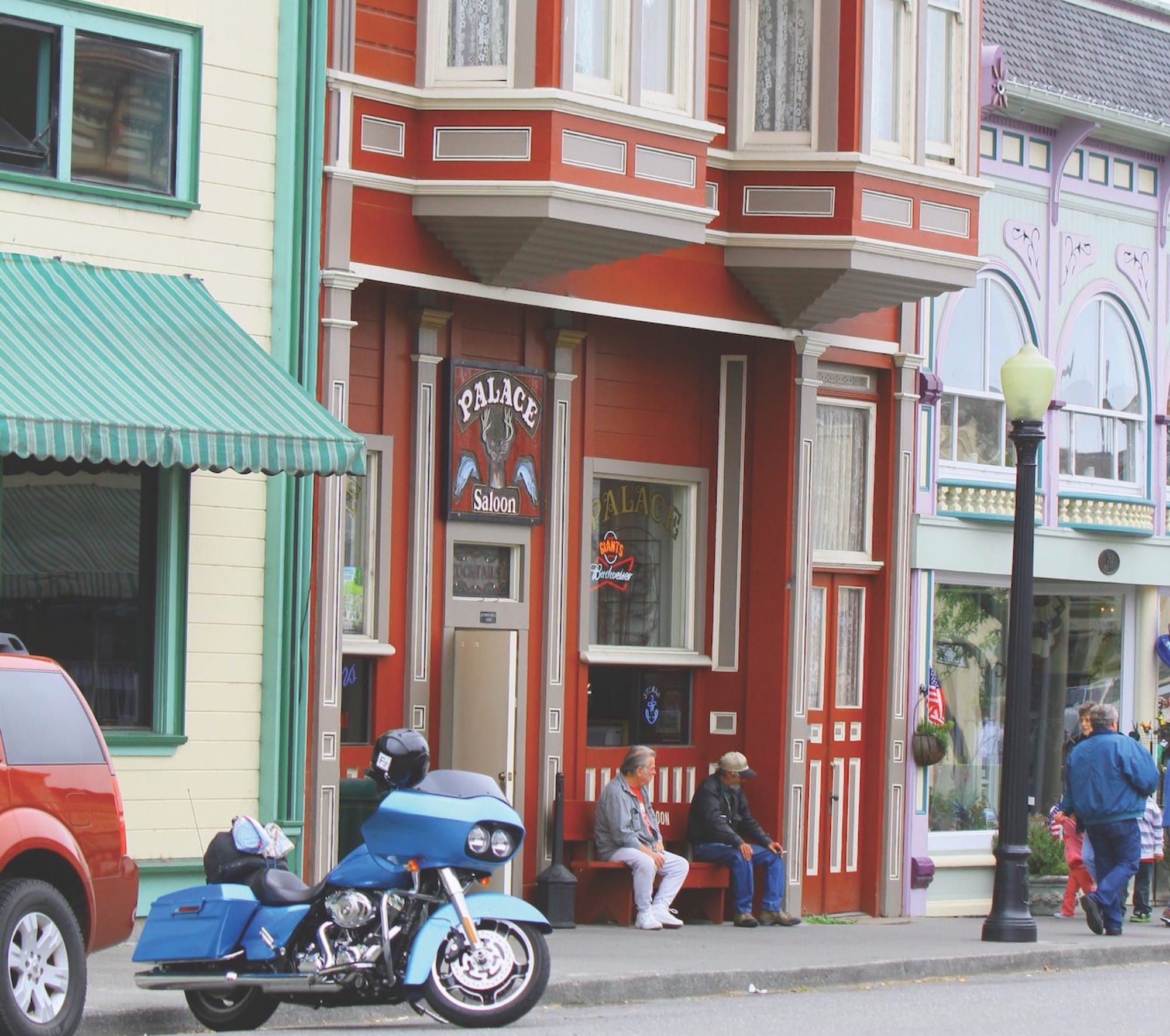
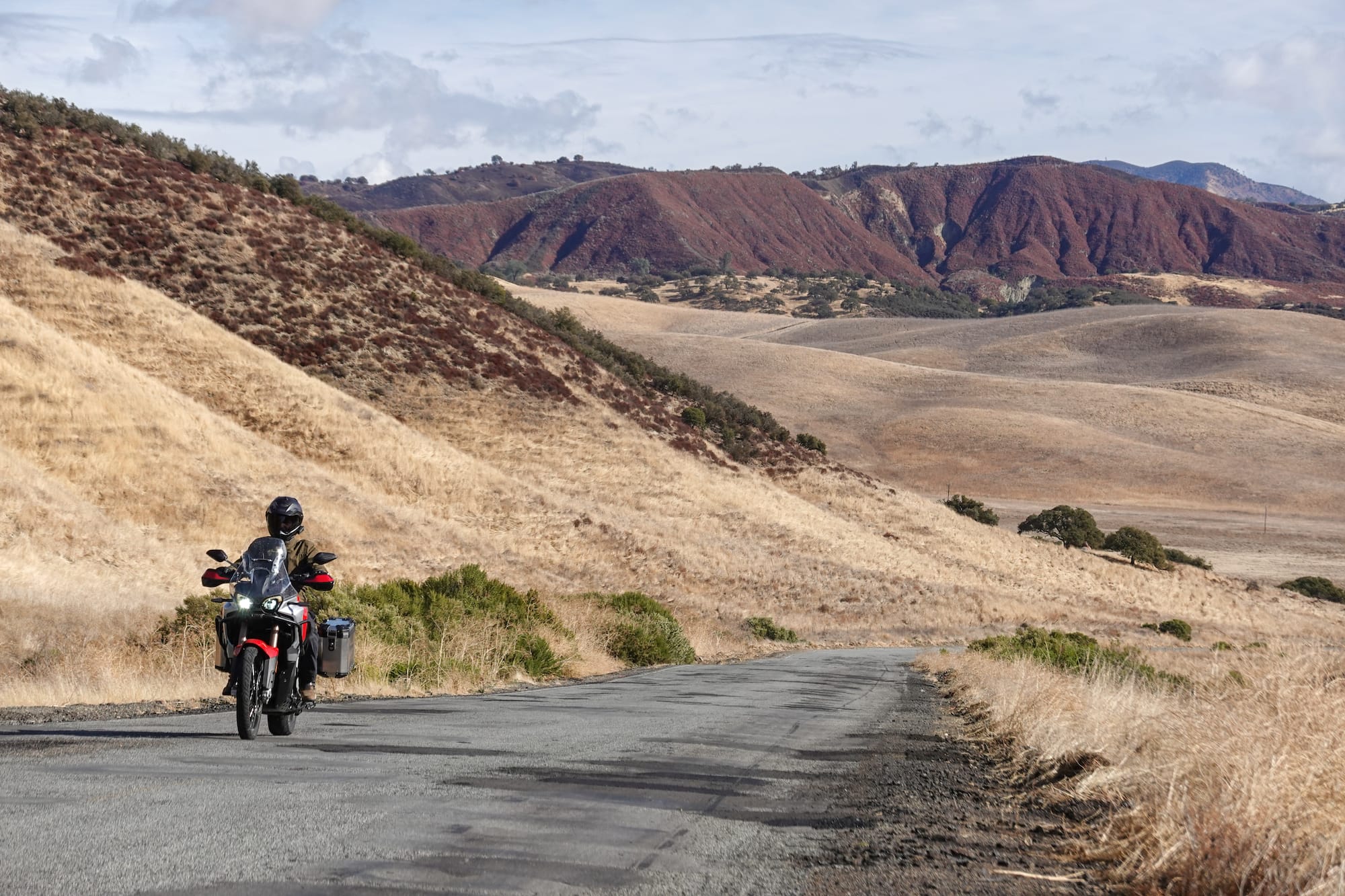
Continent: North America  

34 article(s) found.

California Coastline

January/February 2012

California Coastline

Imagine the Pacific Ocean crashing against the rocky coast of California’s northern half, a ribbon of asphalt longer than a day’s ride drawing the line between the land and the sea, and you’re on your way there right now. Your flight is booked, your motorcycle rental is all lined up and your status updates updated. But where do you sleep?
Read Article Download GPS File Download Tankbag Map View On Map
California

November/December 2011

California

I’m just finishing a leisurely 100-mile cruise through California’s Joshua Tree National Park on a late afternoon in April. I head north on Highway 247, and soon after entering this massive OHV area, strong wind gusts from all directions start shoving around my laden, 712-pound Honda Interstate cruiser.
Read Article Download GPS File Download Tankbag Map View On Map
Reader Ride: Death Valley, California

September/October 2011

Reader Ride: Death Valley, California

I wasn’t expecting it to be this cold. As I make the right turn off U.S. Highway 50 just south of Lake Tahoe, the outside air-temperature gauge on my BMW 1200 GSA reads 28 degrees. When I left my home in Sacramento, CA, about an hour and a half prior it was still dark and the temperature was about 55 degrees. Now the early morning sun is playing hide and seek behind the granite peaks of the Sierra-Nevada, and the smells of pine and burning firewood fill the crisp mountain air as I follow the cold blacktop that is California State Route 89. I ride lines that allow me to dodge patches of frost that linger in the shadows, and I remind myself that in a few hours I will be riding across an arid desert in the hottest place in United States: Death Valley. But for now I put my heated grips on high and squeeze.
Read Article Download GPS File Download Tankbag Map View On Map
California

March/April 2011

California

It's as much about the time - and the roads - leading up to the race, as it is about the race itself. In July 2010, my brother Jim and good friends Pete, Gary F., and Gary K., and I spent five days of motorcycle touring together, logging a total of nearly 800 miles on our respective bikes: Yamaha FJR, Harley Road Glide, Honda ST 1300, Kawasaki Concours, and a Suzuki V-Strom 650.
Read Article Download GPS File Download Tankbag Map View On Map
Las Vegas to San Francisco

January/February 2011

Las Vegas to San Francisco

Everybody warned me not to go through Death Valley in summer, but nobody said a word about Las Vegas! So I find myself in the stop-and-go traffic on I-15, as I try to get out of the city. The thermometer on the bike shows exactly 105 degrees. Underneath my riding suit and helmet, it feels much hotter than that. Of course I'll go through Death Valley, the lowest and supposedly hottest point of the United States. It can't be worse than Las Vegas, and there's probably no stop-and-go in the valley. Death Valley is only a short leg on my way to San Francisco, a route some prospectors took 160 years ago. They were listening to the call of the Gold Rush in California.
Read Article Download GPS File Download Tankbag Map View On Map